Following the OWL's Footsteps: Errata page
Hume Home Page, My Johnny Dollar Book Page, O. Winston Link - The Man , O. Winston Link Errata Page |
This page is dedicated to all the stuff that got left out of, put in incorrectly, or just plain messed up in my book, Following the OWL's Footsteps.
| Item | Description |
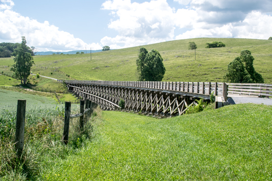
| 1: | Thanks to Wayne Miller, President of the Virginia Creeper Trail Club for the following corrections: • Page 85 - Trestle 7 is insured by the Town of Abingdon, not Damascus. Rebuilding should begin soon (summer of 2012). • Page 87 - The instructions to Watauga Road should be a right turn, not left. • Page 107 - The reference to the Park Service should be the U.S. Forest Service. (NOTE: These errors have been updated in the latest manuscripts) |
| 2: | Thanks to Jimmy Lisle for the following corrections: • Pages 122 thru 141 have an incorrect header - it should read Pocahontas Division. • Page 15 and 17 - The entries for Boaz, Bonsack and Blue Ridge are on the wrong line - they are actually on the Norfolk Division. I put these sites where they are for two reasons: 1. They are the closest sites to Roanoke on the Norfolk Division, and the driving instructions make sense to leave them where they are, and 2. The only other site on the Norfolk Division is in Norfolk. So, if one wished to follow a route up the valley, it makes sense to have these sites where they are. (NOTE: These points have been clarified in the latest manuscripts) |
| 3: | Thanks to Steve Baker in England for catching the following errors: On Page 110, the Longitude for Bridge 79 is incorrect; it should be 36° 32' 55'' On page 131, the longitude for the Welch swimming pool is incorrect; it should be 81° 35' 03". |
| 4: | The location of "The Overlook" On page 94 of the book, I noted that the location of "The Overlook" where Link took the photos on pages 73 and 103 of LSRRIA was a mystery. Pete Stephen of Kernersville, NC has confirmed my suspicions that the area in question is located below and to the east of the gravel pull-off on Rt 58, about 340 yards past the intersection with State Rt. 91. The area is now overgrown and unrecognizable, but I hope to make a trip to ride the Creeper this fall (2013), so I will get a photo of the area to add here. Thanks for your research Pete! - - - In June of 2021 I revisited the location of the overlook, and confirmed that it is still overgrown. Any picture would not show anything of value, so that location will remain unphotographed. |
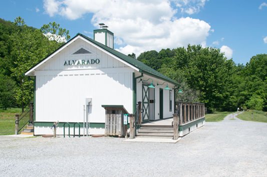
| 5: | GPS Updates: Thanks to John Tiller, the following location GPS datum should be updated: Page 14 - Boaz Siding - The longitude should be 79° 51' 21" Page 24 - Lithia - The Latitude should be 37° 28' 40" Page 36 - Vesuvius - The Latitude should be 37° 54' 22" Page 39 - Midvale - The Longitude should be 79° 17' 11" Page 90 - Alvarado - The Latitude should be 36° 39' 03" |
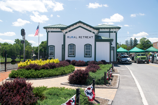
| 6 | In June, 2021 I took a road trip and re-photographed several sites:
|
If you want more information, e-mail the author at: |
 |


